COLUMNS
10 Important Geopolitical Trends Captured Using GIS Technology
Nov 14, 2018 | 20:34 GMT
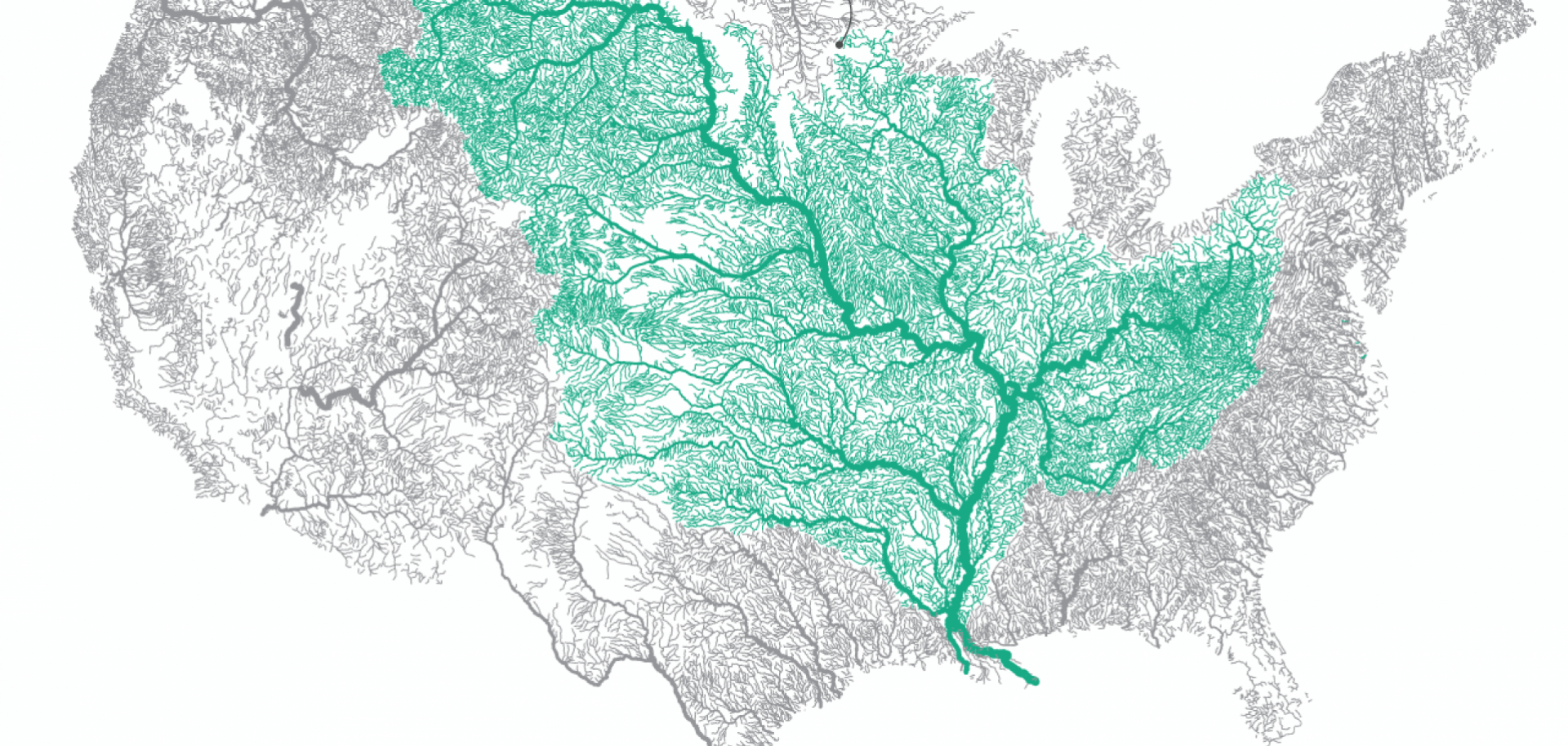
Geographic information systems (GIS) technology has many critical real-world applications. At Stratfor, our in-house creative team uses GIS to create original, illuminating graphics to highlight emerging trends in geopolitics that are defined by geography.
(Stratfor)
Subscribe to view this article
Subscribe Now
SubscribeAlready have an account?